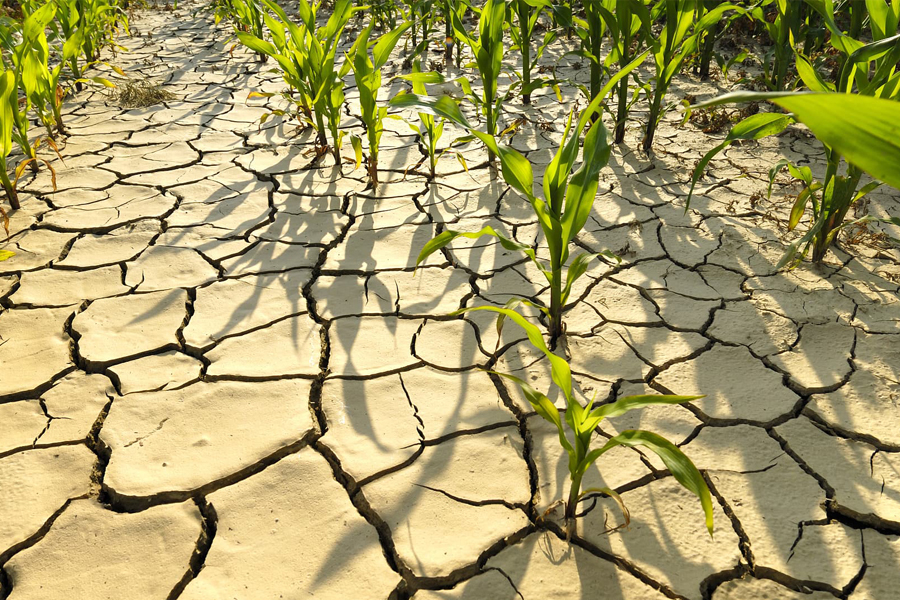
Challenges that weather extremes pose for food security
Extreme weather events are increasingly being amplified by global warming. A better understanding of the nature of location specific risks due to climate extremes can facilitate comprehensive early action systems across the Asia and Africa.
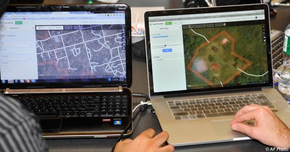
Open Data Day: How the State Department is Linking Diplomacy With Collaborative Mapping During Crises
As events around the world mark Open Data Day, the Department of State is proud to celebrate the anniversary of one its own open data initiatives.
Humanitarian OpenStreetMap Team
The Humanitarian OpenStreetMap Team (HOT) works to reduce disaster risk by collaborating with communities to map vulnerable areas before disasters occur. HOT also applies principles of open source and open data sharing to improve humanitarian response post-disaster and to support economic development.

Open Data for Resilience Initiative
The Open Data for Resilience Initiative (OpenDRI) applies the concepts of the global open data movement to the challenges of reducing vulnerability to natural hazards and the impacts of climate change.
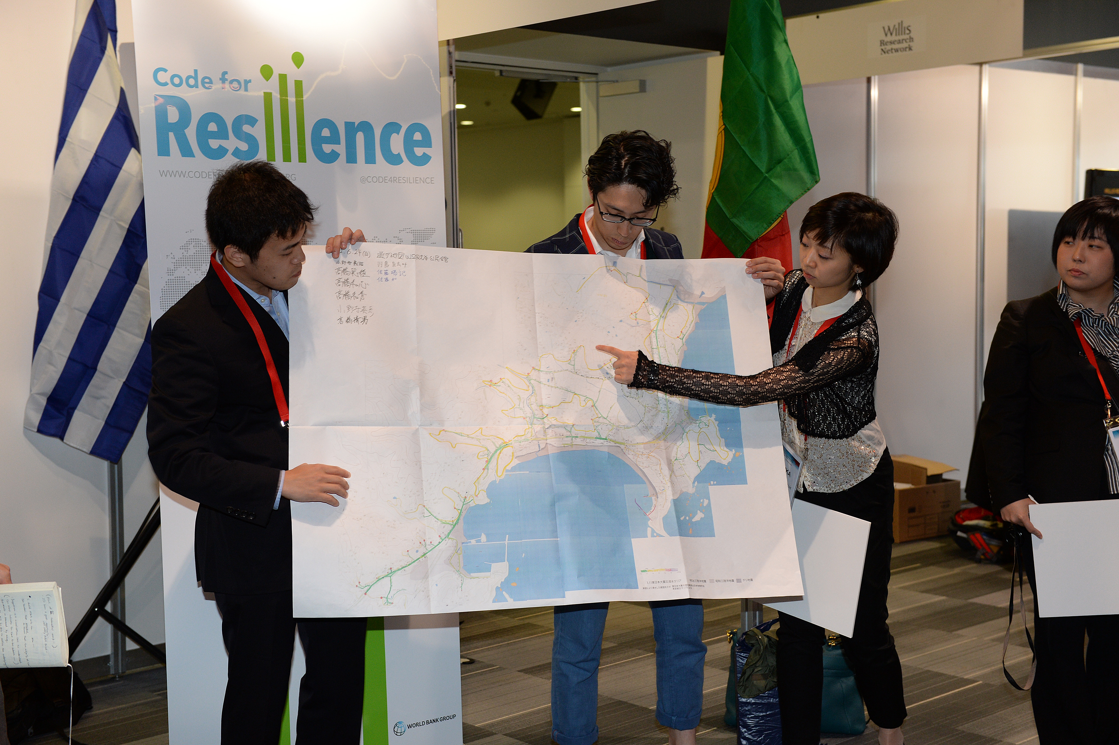
Code for Resilience
Code for Resilience (CfR) fosters a global community of citizens, governments, and technologists using open innovation, open data, and open software and hardware tools to identify and reduce the risks posed by natural disasters.
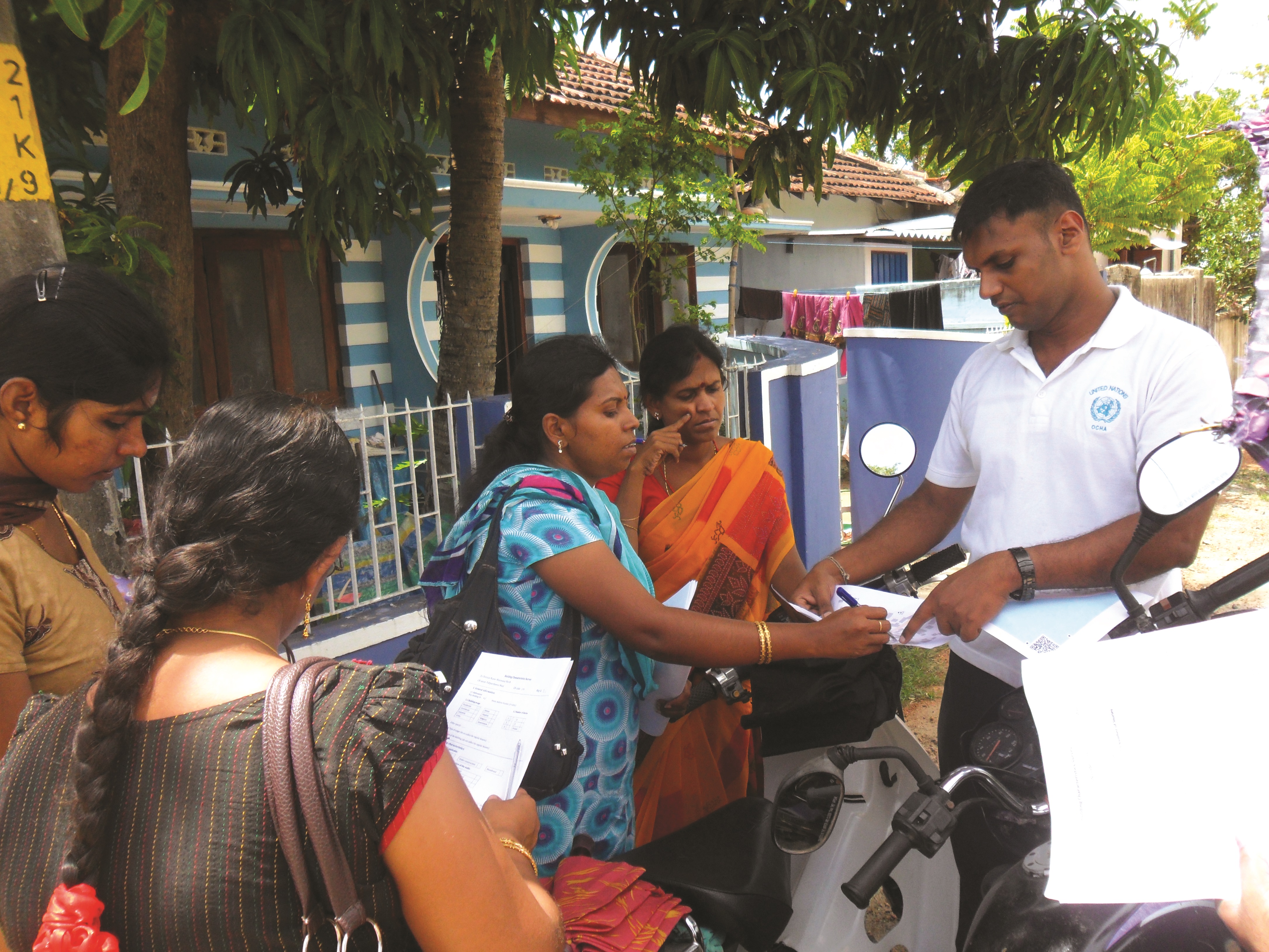
Planning an Open Cities Mapping Project
This guide offers a comprehensive understanding of the design and implementation of an Open Cities mapping project for both practitioners in the field and those interested in a higher-level understanding of the process.