If you have an initiative related to disaster risk identification that you think would be of interest to the UR Community, please apply by filling out this form and providing the requested information.
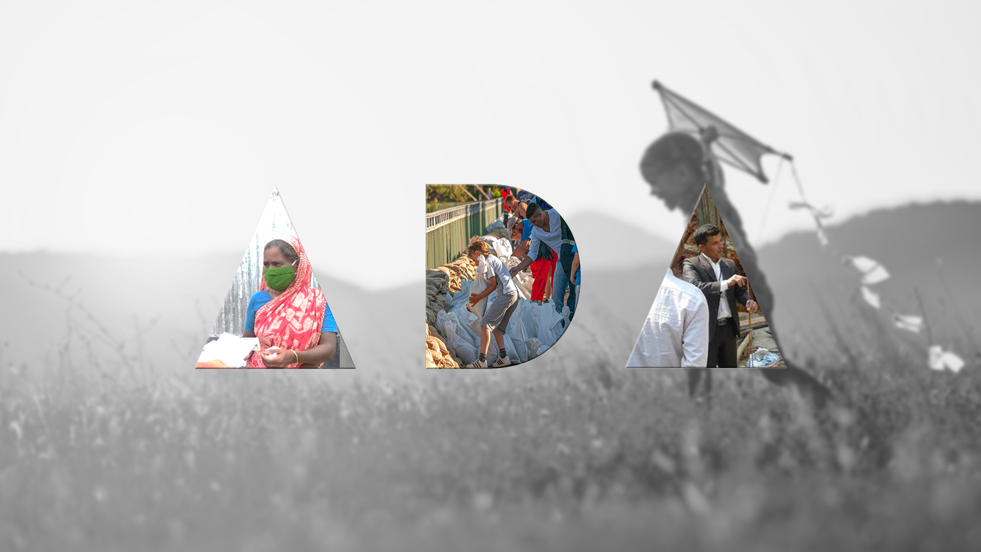
_Averted Disaster Award
We're excited to have officially launched the ADA award during the URAsia regional forum. Based on the work of David Lallemant, Maricar Rabonza, and Yolanda Lin to recognise the many successful disaster mitigation interventions made invisible by their success.

_UHI Innovation Challenge
SSTL and the World Bank, with the support of the Global Facility for Disaster Reduction and Recovery (GFDRR), launches the Digital Earth Partnership Technology Challenge to source space tech companies and research organizations to better measure temperatures in cities and analyze the strength of the UHI effect in the region.

Challenge Fund
GFDRR and DFID's competitive Challenge Fund pilots new and innovative approaches to overcoming these challenges and strengthens disaster and climate risk decision-making in developing countries.
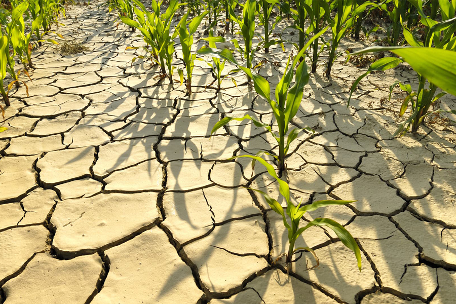
Challenges that weather extremes pose for food security
Extreme weather events are increasingly being amplified by global warming. A better understanding of the nature of location specific risks due to climate extremes can facilitate comprehensive early action systems across the Asia and Africa.
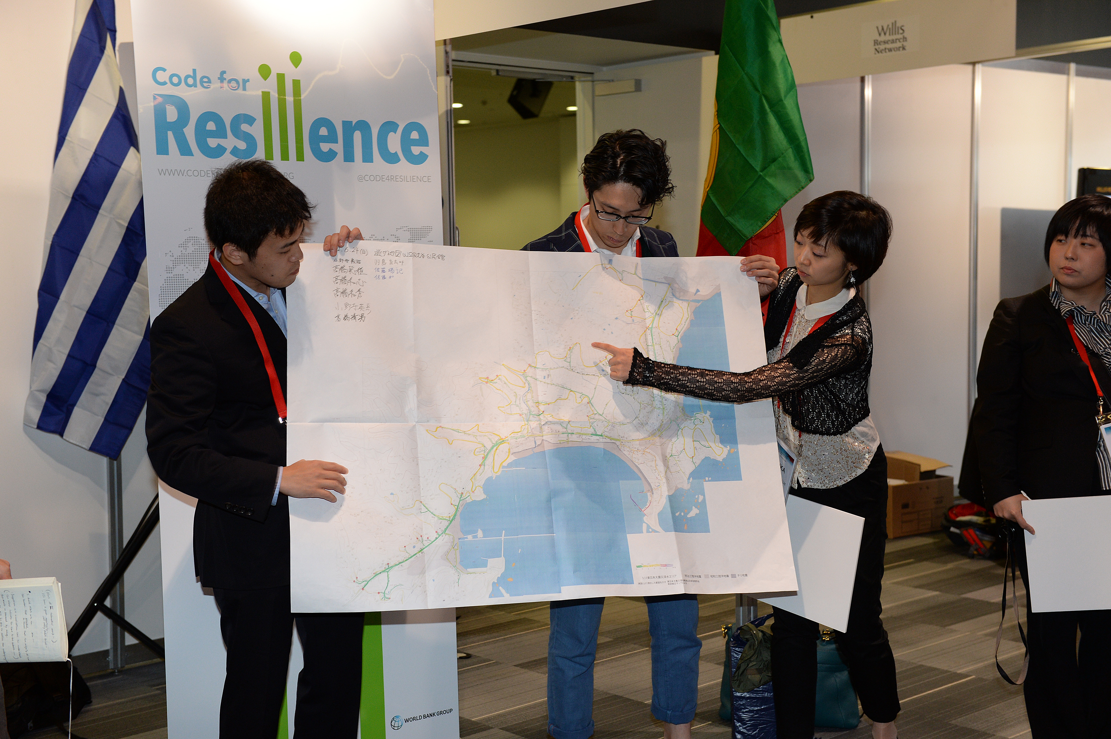
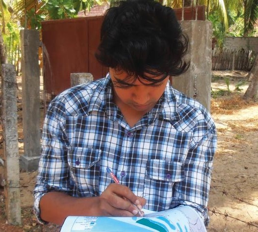
Code for Resilience
Code for Resilience (CfR) fosters a global community of citizens, governments, and technologists using open innovation, open data, and open software and hardware tools to identify and reduce the risks posed by natural disasters.
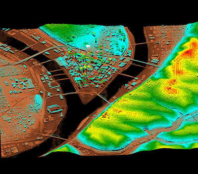
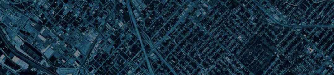
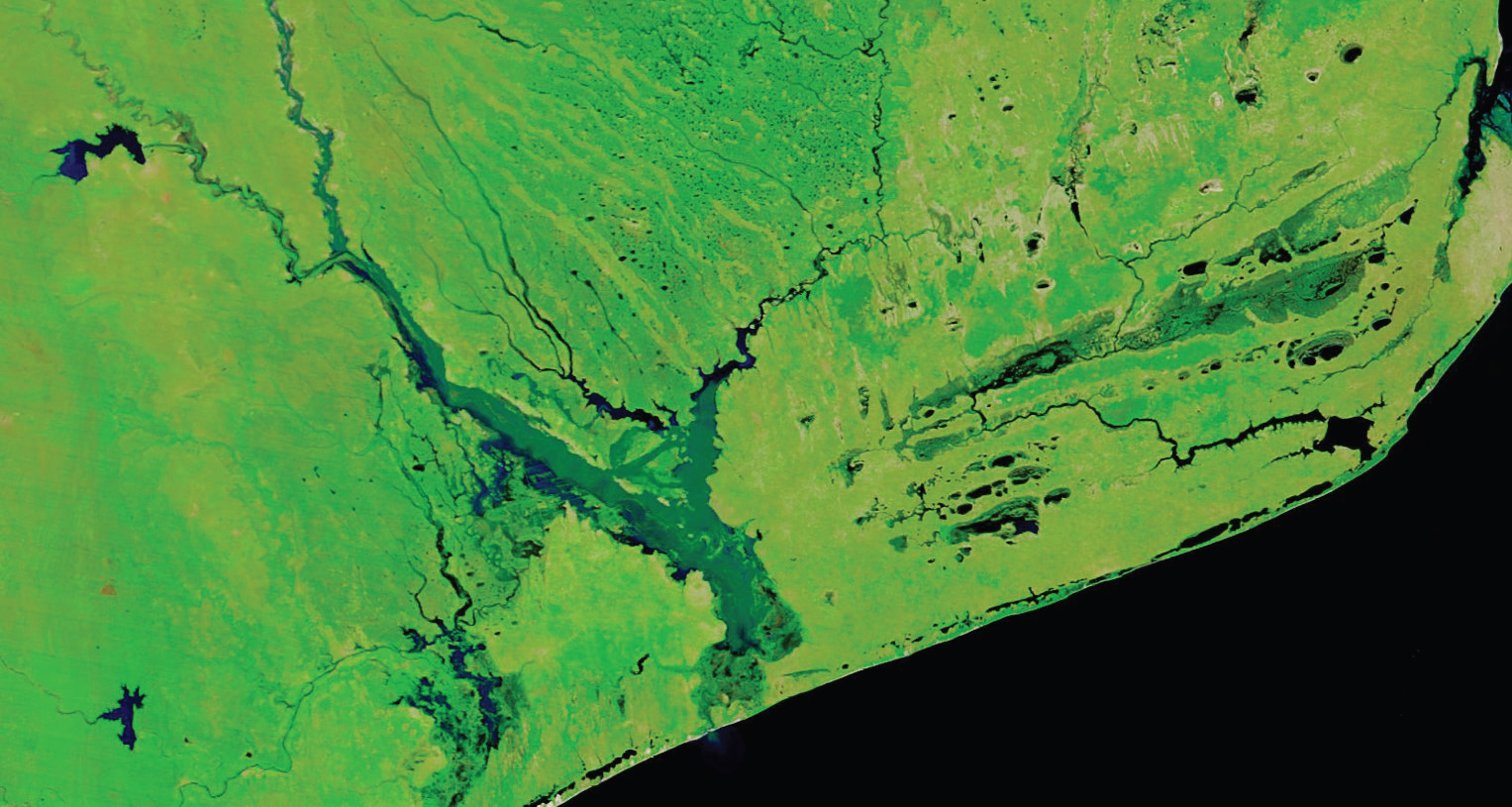
Digital Elevation Model Project
The Digital Elevation Model Project (DEMP) is a group of professionals passionate about the need for the world to have access to high resolution digital elevation models (DEMs). DEMs are key to helping the world increase its resilience to climate change and natural disasters.
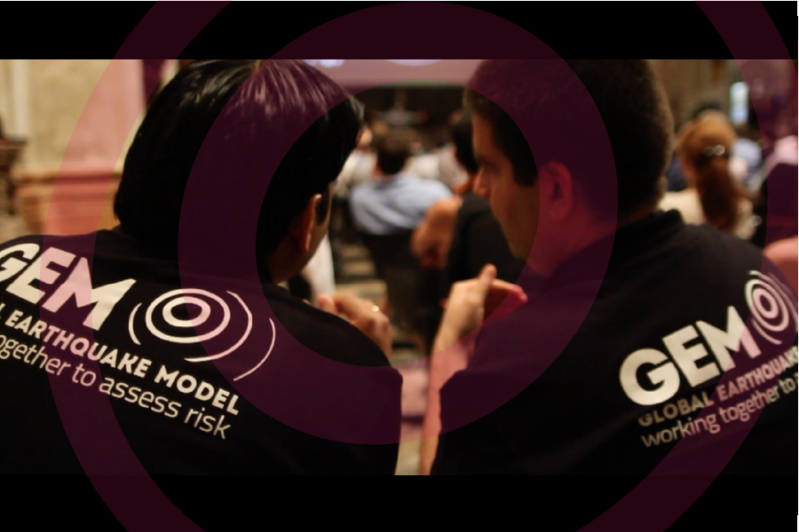
Global Earthquake Model
The GEM Foundation is a public-private partnership established to develop open, high-quality tools and information for transparent assessment of earthquake hazard and risk, to share them freely through the OpenQuake Platform, and to facilitate use of these resources for risk reduction and increased resilience worldwide.
Humanitarian OpenStreetMap Team
The Humanitarian OpenStreetMap Team (HOT) works to reduce disaster risk by collaborating with communities to map vulnerable areas before disasters occur. HOT also applies principles of open source and open data sharing to improve humanitarian response post-disaster and to support economic development.
Open Data for Resilience Initiative
The Open Data for Resilience Initiative (OpenDRI) applies the concepts of the global open data movement to the challenges of reducing vulnerability to natural hazards and the impacts of climate change.
Small Island States Resilience Initiative
The Small Island States Resilience Initiative (SISRI) will provide investment capital and technical assistance to help island nations reduce risks to their populations, assets, economies and ecosystems. It aims to support up to 24 countries in the Caribbean, Pacific and African/Indian Ocean regions during its first commitment period (2016-2018).
Solving the Puzzle: Innovating to Reduce Risk
This initiative aims to provide a community perspective on the priorities for future collaboration and investment in the development and use of disaster risk information.
Spatial Impact Assessment
SIA can be undertaken to obtain rapid assessments of the impact of a major disaster. Often, SIA is used prior to, or in parallel to the Post Disaster Needs Assessment (PDNA) undertaken in the field by the affected government that is supported by the UN, EU, and the World Bank.
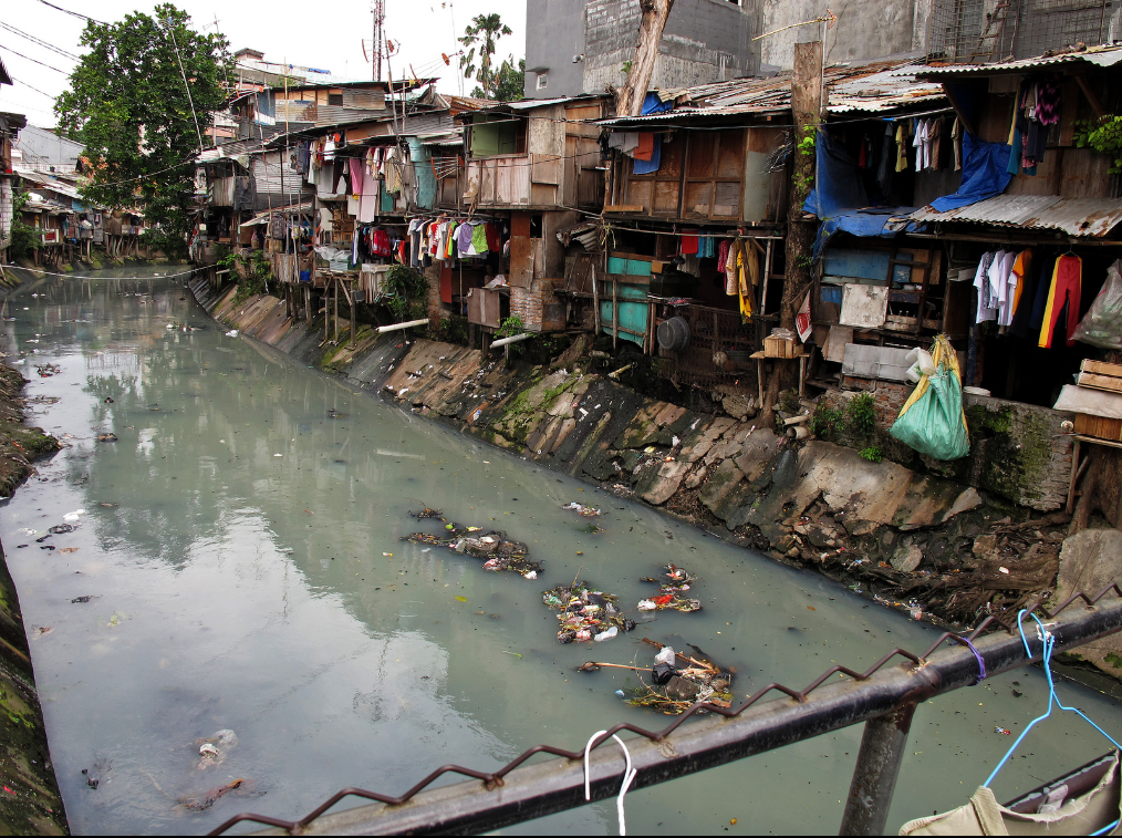
Urban Floods Community of Practice (UFCOP)
The Urban Flood Community of Practice is a World Bank-led initiative that aims to promote an integrated approach to urban flood risk management across regions by leveraging technical expertise and capitalizing on knowledge contributed by a wide range of stakeholders.