Filter Resources
Keyword
Type
Region
Country

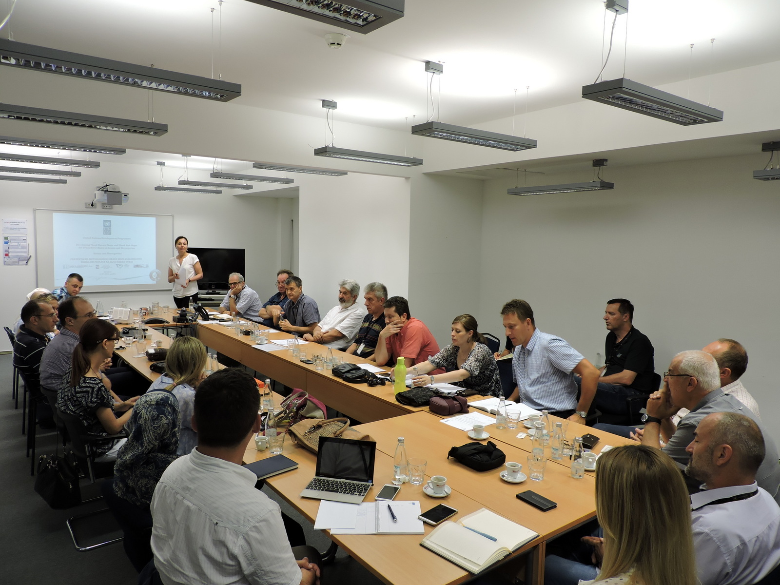
The First Integrated Methodology for Development of Flood Hazard Maps and Risk Maps in BiH
Within the framework of the United Nations Development Programme (UNDP) Project „Technology transfer for climate resilient flood management in Vrbas River Basin", presentation of the first integrated methodology for development of flood hazard maps and risk maps in Bosnia and Herzegovina, was held in Sarajevo.

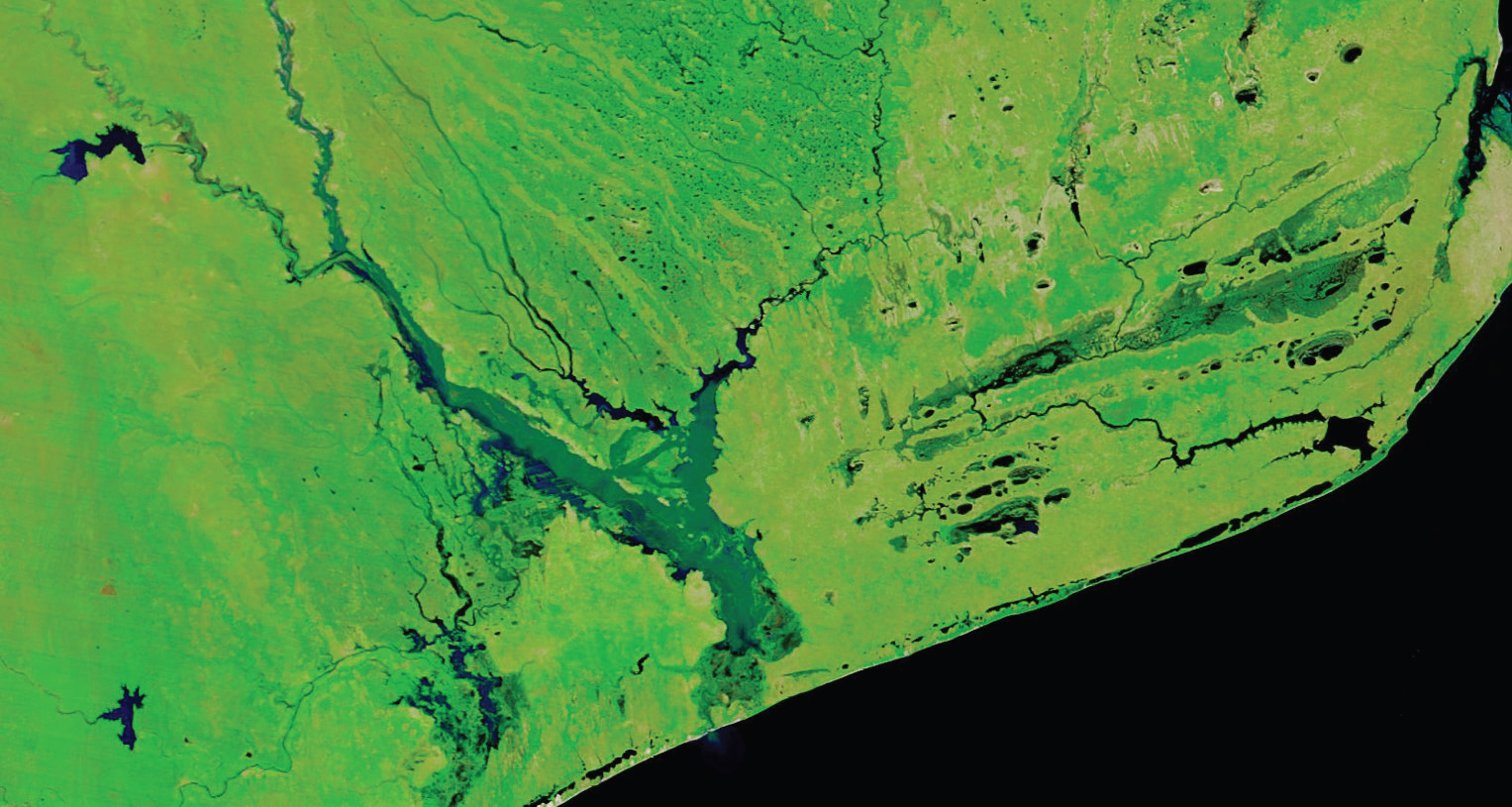
Spatial Impact Assessment
SIA can be undertaken to obtain rapid assessments of the impact of a major disaster. Often, SIA is used prior to, or in parallel to the Post Disaster Needs Assessment (PDNA) undertaken in the field by the affected government that is supported by the UN, EU, and the World Bank.
