Filter Resources
Keyword
Type
Region
Country

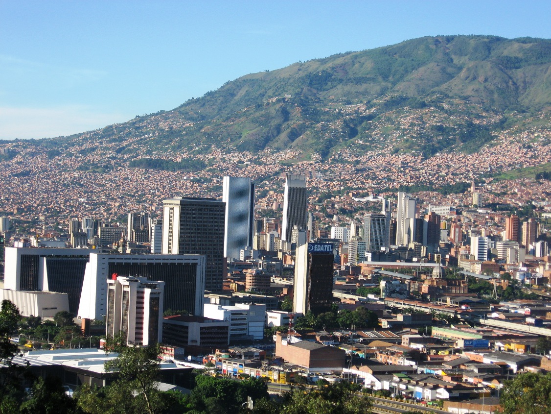
Urban seismic risk index for Medellín, Colombia, based on probabilistic loss and casualties estimations
Using the results of a fully probabilistic risk assessment of the city with a building by building resolution level and considering the dynamic soil response, average annual losses by sectors as well as casualties and other direct effects are obtained and aggregated at county level.

Humanitarian OpenStreetMap Team
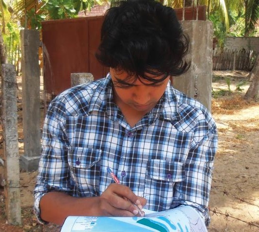
The Humanitarian OpenStreetMap Team (HOT) works to reduce disaster risk by collaborating with communities to map vulnerable areas before disasters occur. HOT also applies principles of open source and open data sharing to improve humanitarian response post-disaster and to support economic development.

Open Data for Resilience Initiative
The Open Data for Resilience Initiative (OpenDRI) applies the concepts of the global open data movement to the challenges of reducing vulnerability to natural hazards and the impacts of climate change.
