Filter Resources
Keyword
Type
Region
Country

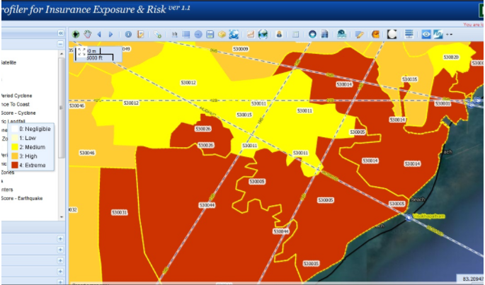
Profiler for Insurance Exposure & Risk (PIER)
PIER is an exposure and risk tracking solution that utilizes geospatial technologies to improve identification, assessment, pricing and monitoring of risk across various lines of business.

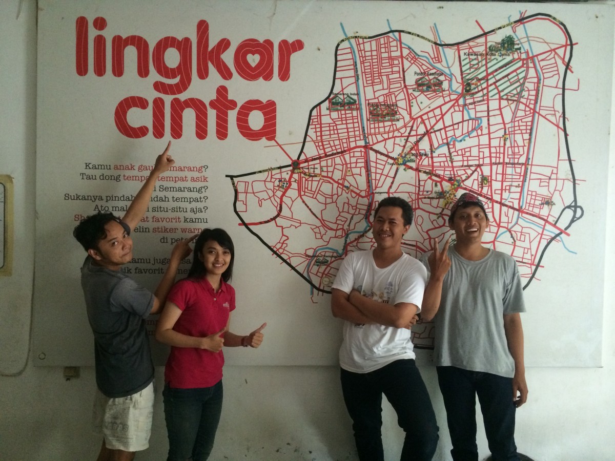
Mapping Community Resilience in Indonesia {Video}
Today we’re excited to release this video that highlights Ushahidi’s work in Indonesia and how we’re finding resilience in unexpected places; using the convening power of open data to connect citizens to city government; and how we are part of a movement to nurture local tech ecosystems...

2014 Understanding Risk Forum
Under the theme "Producing Actionable Information", UR2014 convened 840 participants from more than 60 countries, representing 285 institutions that covered government agencies, the private sector, NGOs, research institutions, academia and civil society.

Humanitarian OpenStreetMap Team
The Humanitarian OpenStreetMap Team (HOT) works to reduce disaster risk by collaborating with communities to map vulnerable areas before disasters occur. HOT also applies principles of open source and open data sharing to improve humanitarian response post-disaster and to support economic development.
