Filter Resources
Keyword
Type
Region
Country
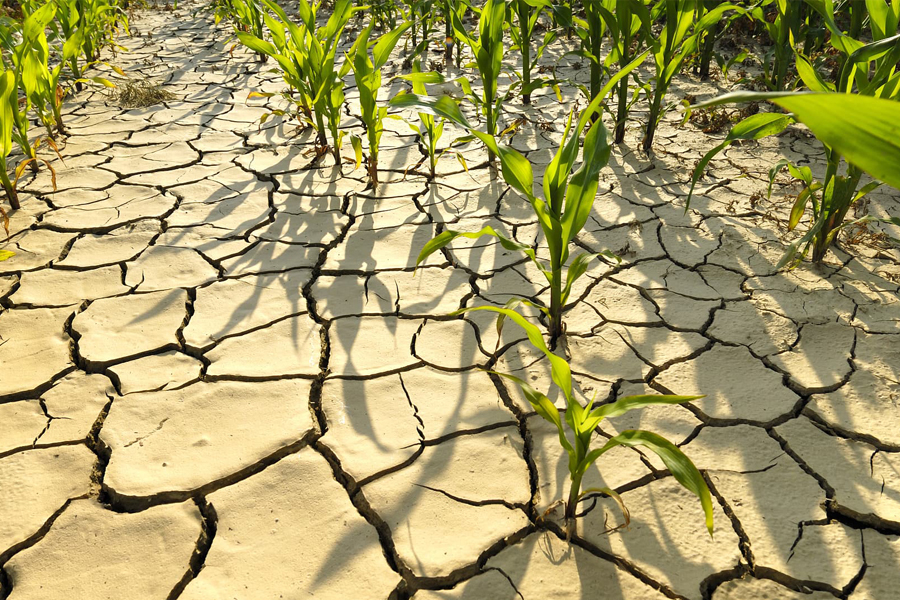
Challenges that weather extremes pose for food security
Extreme weather events are increasingly being amplified by global warming. A better understanding of the nature of location specific risks due to climate extremes can facilitate comprehensive early action systems across the Asia and Africa.
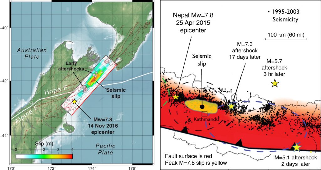
14 November 2016 Mw=7.8 New Zealand earthquake shows an uncanny resemblance to the 2015 Nepal shock
In terms of its rupture, the New Zealand earthquake is a ‘deja vu’ experience with the 25 April 2016 Mw=7.8 Nepal earthquake. Both show almost no fault slip at their epicenters, with the seismic waves traveling at about 5,000 mile per hour for about 50-100 km before the fault began to unzip...
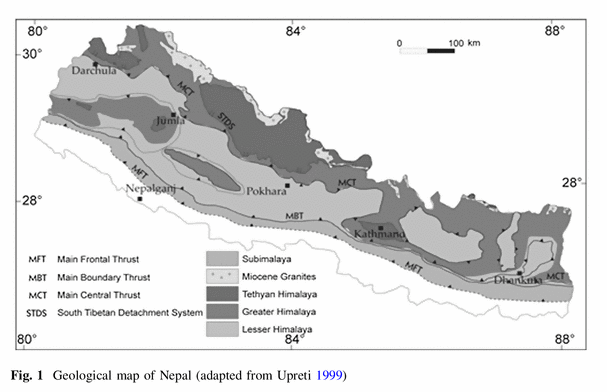
Seismic risk assessment and hazard mapping in Nepal
This study investigates structural vulnerability, seismic risk, and the resulting possible economic losses owing to future earthquakes in Nepal. To this end, seismic risk assessment in Nepal is done using an existing probabilistic seismic hazard, a newly developed structural vulnerability, and recently released exposure data.
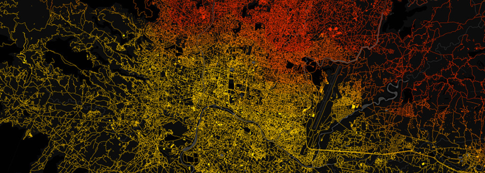
Harnessing the Power of the Crowd: Reflections Six Months after the Gorkha Earthquake in Nepal
The 7.8 magnitude earthquake that struck Nepal on April 27th was for many an unexpected event. However, for the disaster risk management community in development and humanitarian institutions, this earthquake was only a matter of time. In many ways, all you had to do was look out any window in Nepal and see the spectacular Himalayas – mountains forged through the eons, one earthquake at a time...
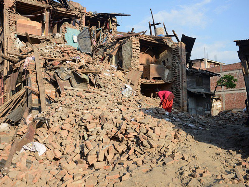
Weak Shaking Lessened Nepal Earthquake Impact
The magnitude 7.8 earthquake that struck Nepal on 25 April killed more than 8800 people, injured another 23,000+, and destroyed at least 500,000 buildings...
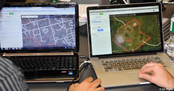
Open Data Day: How the State Department is Linking Diplomacy With Collaborative Mapping During Crises
As events around the world mark Open Data Day, the Department of State is proud to celebrate the anniversary of one its own open data initiatives.
Humanitarian OpenStreetMap Team
The Humanitarian OpenStreetMap Team (HOT) works to reduce disaster risk by collaborating with communities to map vulnerable areas before disasters occur. HOT also applies principles of open source and open data sharing to improve humanitarian response post-disaster and to support economic development.
