Filter Resources
Keyword
Type
Region
Country

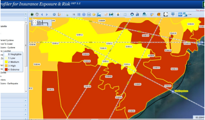
Profiler for Insurance Exposure & Risk (PIER)
PIER is an exposure and risk tracking solution that utilizes geospatial technologies to improve identification, assessment, pricing and monitoring of risk across various lines of business.
Consultancy on Participatory Capacity Vulnerability Assessment (PCVA) and Hazard Mapping
AECOM International Development is seeking the services of three (3) consultants to provide specialized services in Tacloban City.

2014 Understanding Risk Forum
Under the theme "Producing Actionable Information", UR2014 convened 840 participants from more than 60 countries, representing 285 institutions that covered government agencies, the private sector, NGOs, research institutions, academia and civil society.

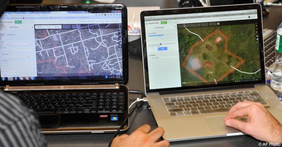
Open Data Day: How the State Department is Linking Diplomacy With Collaborative Mapping During Crises
As events around the world mark Open Data Day, the Department of State is proud to celebrate the anniversary of one its own open data initiatives.
