Filter Resources
Keyword
Type
Region
Country
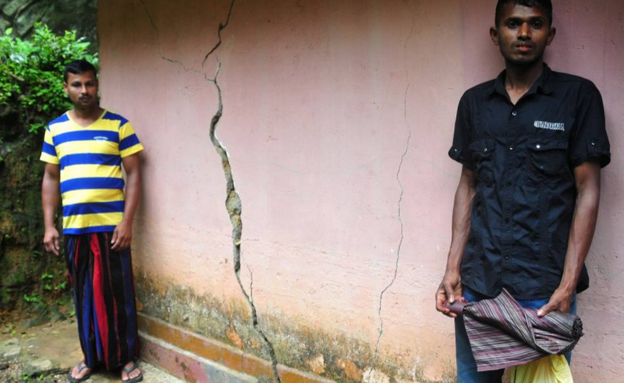
As disaster losses mount, Sri Lanka develops tool to track them
Right now, "there is no uniform system to calculate losses, which is hampering disaster planning measures"...
Humanitarian OpenStreetMap Team
The Humanitarian OpenStreetMap Team (HOT) works to reduce disaster risk by collaborating with communities to map vulnerable areas before disasters occur. HOT also applies principles of open source and open data sharing to improve humanitarian response post-disaster and to support economic development.
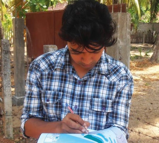
Open Data for Resilience Initiative
The Open Data for Resilience Initiative (OpenDRI) applies the concepts of the global open data movement to the challenges of reducing vulnerability to natural hazards and the impacts of climate change.
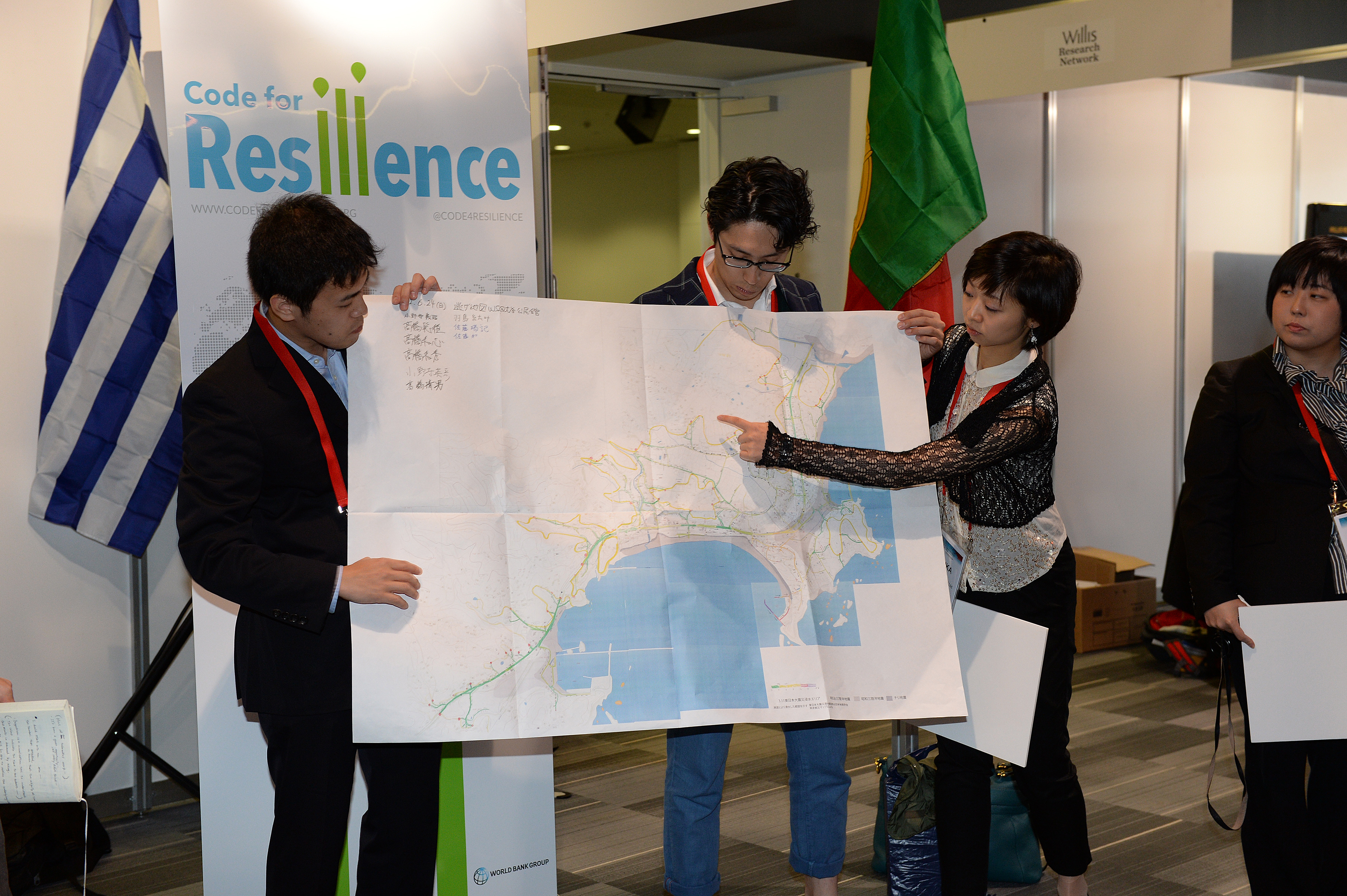
Code for Resilience
Code for Resilience (CfR) fosters a global community of citizens, governments, and technologists using open innovation, open data, and open software and hardware tools to identify and reduce the risks posed by natural disasters.
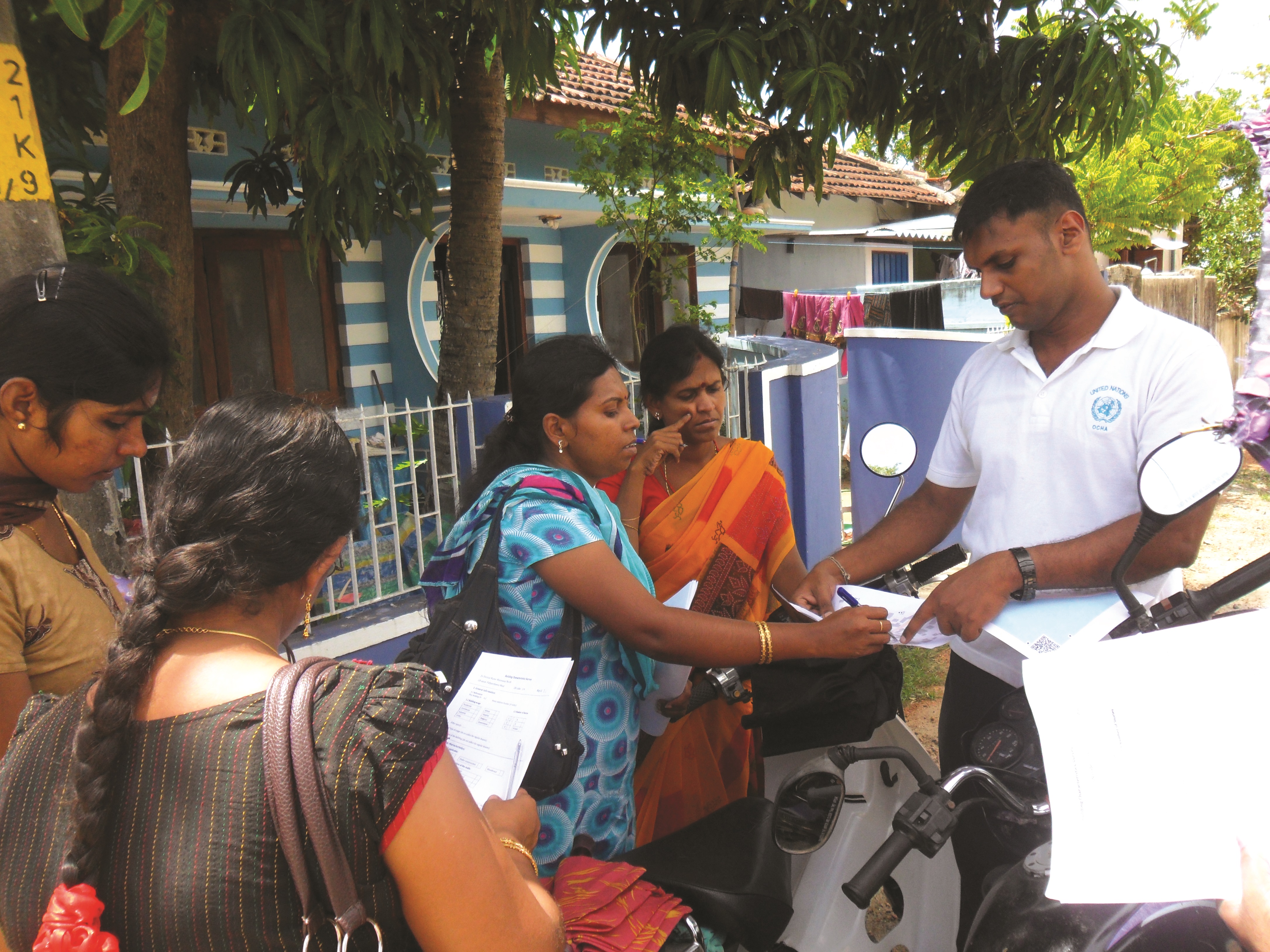
Planning an Open Cities Mapping Project
This guide offers a comprehensive understanding of the design and implementation of an Open Cities mapping project for both practitioners in the field and those interested in a higher-level understanding of the process.
Urban Floods Development Dialogue
Join a two week long dialogue (through Feb. 20) dedicated to Urban Flood Risk Management, in which experts, practitioners and policy makers will explore cross-cutting solutions and innovative approaches in dealing with urban flood risk, and will discuss lessons learned from a wide range of projects and experiences across regions.
Publication Launch: Planning an Open Cities Project
To manage disaster risk in expanding urban areas, a deep understanding of the built environment is essential. The Open Cities Project, part of the Open Data for Resilience Initiative (OpenDRI), has worked in three cities in South Asia to increase this understanding through community mapping and crowdsourcing activities...
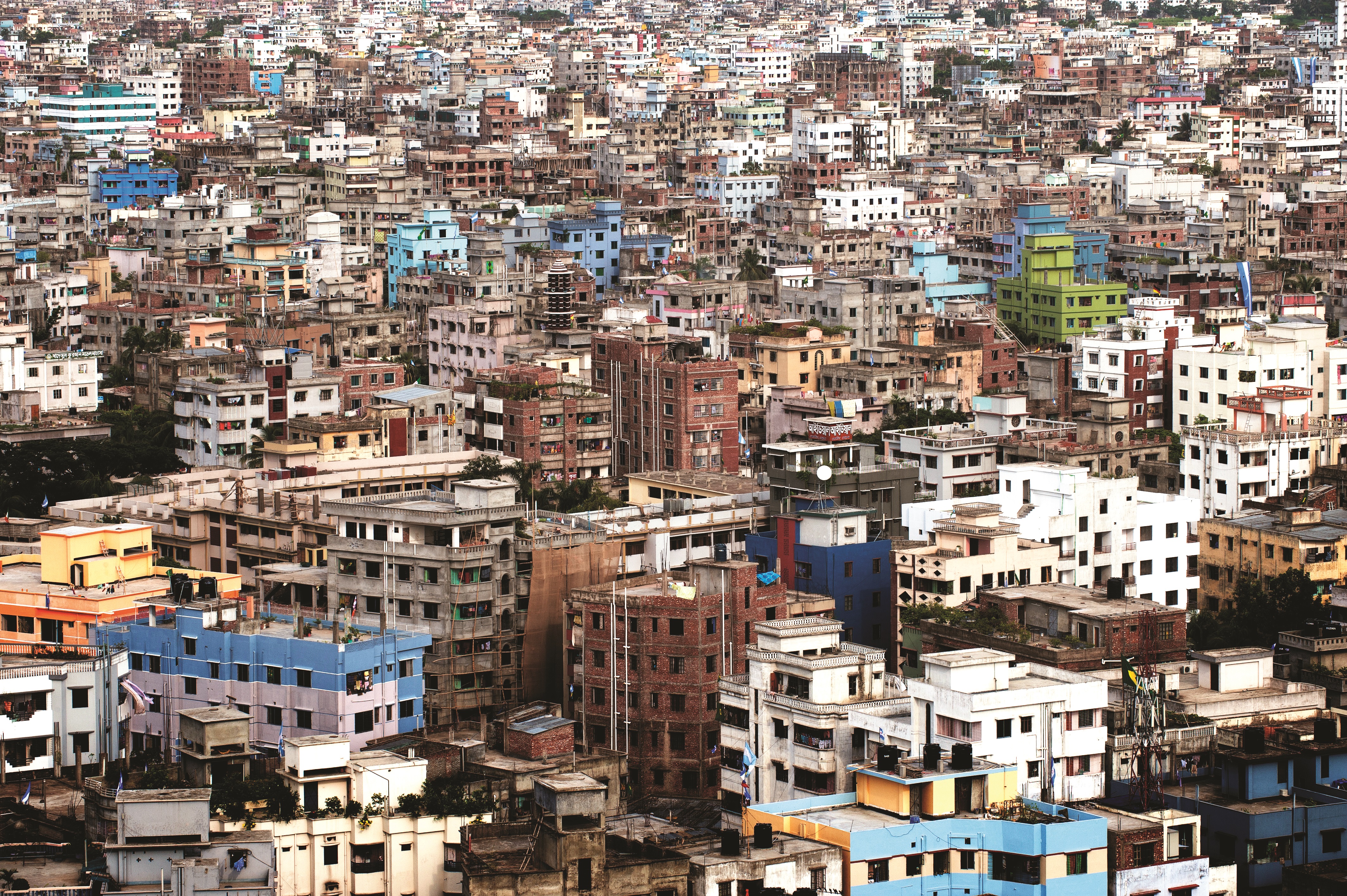
Understanding Risk in an Evolving World – Emerging Best Practices in Natural Disaster Risk Assessment
The last ten years have seen marked improvement in disaster risk assessment capabilities and communication efforts. Understanding Disaster Risk in an Evolving World and its accompanying Policy Note seek to inform the post-2015 discussions.
