Event Summary
Organization: NASA
Description
Date: Monday, May 14, 2:00pm – 5:00pm
Venue: Salon de Actos
Combining the value of Earth observation data, risk information products, and integrated decision support tools can deliver the confidence needed to make substantive improvements in readiness and action. This side event will provide opportunities for learning and partnership by establishing a new community focused on exploring approaches in optimizing and coordinating earth observations with humanitarian and insurance sectors. Participants will learn of the interplay between Earth observation and the financing of risk by highlighting case studies and lesson captured from tropical cyclones, flood, and earthquake events and demonstration projects for areas at intensive risk, such as coastal communities and cities on volcanoes. This event will begin with a stakeholder-led panel presentation accompanied by facilitated group interactions, scenario case studies and exercises, and will convene a diverse community of stakeholders committed to mobilizing innovative transdisciplinary approaches that blend enhanced situational awareness, context analysis and financial to understand risk and trigger efficient and effective interventions to reduce risk and build resilience.
Speakers:
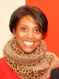 Dr. Lauren Alexander Augustine is the Director of the Program on Risk, Resilience, and Extreme Events in the Office of Special Projects in the Division of Policy and Global Affairs. The marquis program in the OSP is the Resilient America Roundtable, an effort that uses science, analysis, and technology in combination with community engagement to build resilience to disasters and other disruptions in four US Communities: Cedar Rapids, Iowa; Charleston, South Carolina; Seattle, Washington; and Tulsa, Oklahoma. She served on the World Economic Forum’s Global Agenda Council on Risk and Resilience; and assists with the UNISDR’s Business and Science Forum. Lauren joined the Academy in 2002. In her tenure at the Academies, Lauren was a study director for water science policy issues on the Water Science and Technology Board; and from 2007-2013, she was the Country Director for Nigeria in the African Science Academy Development Initiative (ASADI), a cross-academies program that builds scientific capacity in national academies of science in eight African countries. From 2008-2013, she directed the Disasters Roundtable at the Academy. Her most recent positions at the Academy entail her developing a portfolio on natural disasters and ways that science can inform policy to reduce the risk and elevate society’s resilience to them. Lauren earned her B.S. in applied mathematics and systems engineering and her Master’s degree in environmental planning and policy from the University of Virginia; she completed her Ph.D. in an interdisciplinary program that combined physical hydrology, geomorphology, and ecology from Harvard University.
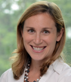 Dr. Dalia B. Kirschbaum is a Research Physical Scientist in the Hydrological Sciences Lab at NASA Goddard Space Flight Center, Greenbelt, MD. Her research interests center on rainfall-triggered landslide modeling, focusing on applying remotely sensed surface and precipitation information to landslide hazard models at multiple spatial and temporal scales. Her current research focuses on advancing a regional landslide hazard and forecasting system with more quantitative and deterministic models to improve landslide hazard assessment. She has also developed a web-based interface for visualization of landslide hazard and remote sensing products for improved situational awareness of landslide hazards and reported events. Dr. Kirschbaum is also the Global Precipitation Measurement (GPM) Mission Associate Deputy Project Scientist for Applications. In this role, she provides scientific support for applications research and activities. Dr. Kirschbaum is also a Disaster Response Coordinator for the agency, working with other NASA centers as well as domestic and international partners to bring satellite data and products to bear during natural hazard events to improve situational awareness and inform decision making. Dr. Kirschbaum received her M.S. and Ph.D. in Earth and Environmental Sciences from Columbia University with a focus in Natural Hazards and Remote Sensing. She received her A.B. in Geosciences from Princeton University.
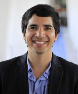 Mr. Iker Llabres is Business Manager for El Salvador and Monitoring and Evaluation Specialist for MiCRO, which is a reinsurer co-founded by MercyCorps. He is a Mexican actuary by Anahuac University and holds a MSc in Emerging Economies and Inclusive Development from King’s College London. His areas of expertise are microinsurance, development evaluation, and poverty. Before joining MiCRO, Iker worked as an evaluation consultant for the International Labour Organization in Geneva.
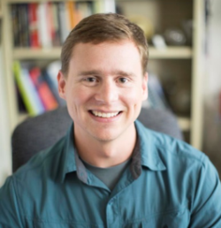 Mr. Eric R. Anderson is a Research Scientist at the University of Alabama in Huntsville Earth System Science Center. He serves as the NASA/SERVIR-Mekong Science Coordination Lead and Disasters Theme Lead. He earned an M.S. in Earth System Science from UAH, focusing his research on landslide hazard identification in El Salvador using in situ, remotely sensed and modeled inputs. Eric received his B.S. in Environment with a focus on Environmetrics from the McGill University School of Environment in Montréal, Canada.Eric spent several years in Panama at the Water Center for the Humid Tropics of Latin America and the Caribbean (CATHALAC), where he was responsible for conducting geospatial analyses on climate, biodiversity, and environmental changes in Mesoamerica and the Caribbean. In addition, he supported disaster response efforts in the region by rapidly acquiring and analyzing satellite images to identify damages and estimate affected areas. He also developed curricula and delivered training workshops in GIS and remote sensing for disaster response and environmental monitoring, mainly to government technicians and university researchers. Through SERVIR and other applied research and capacity building efforts, Eric works with talented and dedicated scientists, practitioners, and students around the world to improve the use of Earth science data in environmental management and disaster risk reduction.
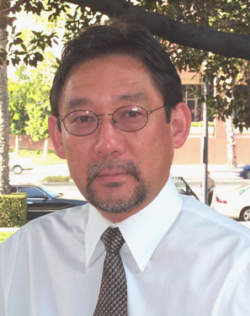 Mr. Ron Eguchi is President and CEO of ImageCat, Inc., an international risk management company that supports the global risk and catastrophe management needs of the insurance industry, governments and NGOs. Mr. Eguchi has over 30 years of experience in risk analysis and risk reduction studies. He currently serves or has served on several editorial boards including EERI’s Journal SPECTRA. In 1997, he was awarded the ASCE C. Martin Duke Award for his contributions to the area of lifeline earthquake engineering. In 2006, he accepted an ATC Award of Excellence on behalf of the ATC-61 project team for work on An Independent Study to Assess Future Savings from Mitigation Activities that showed that a dollar spent on hazard mitigation saves the nation about $4 in future benefits. He was recognized by EERI as the 2008 Distinguished Lecturer where he discussed the topic of “Earthquakes, Hurricanes, and other Disasters: A View from Space.” He currently chairs the Technical Committee on Advances in Information Technologies for the SEI Division of ASCE, a committee he started in 2015. He has authored over 300 publications, many of them dealing with the seismic risk of utility lifeline systems and the use of remote sensing technologies for disaster response. He was awarded the 2017 Civil & Environmental Engineering Department Distinguished Alumnus Award from UCLA.
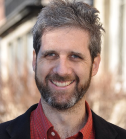 Mr. Pablo Suarez is associate director for research and innovation at the Red Cross Red Crescent Climate Centre, as well as visiting fellow at Boston University, honorary senior lecturer at University College London, and faculty member at University of Lugano (Switzerland). He has consulted for the UN Development Programme, the World Food Programme, the World Bank, Oxfam America, and about twenty other international humanitarian and development organizations, working in more than 60 countries. His current work addresses institutional integration across disciplines and geographic scales, and the use of innovative tools for climate risk management – including the design and facilitation of participatory games for learning and managing complex dynamic systems. Pablo holds a water engineering degree, a master’s in planning, and a Ph.D. in geography.
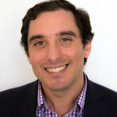 Mr. Andrew Kruczkiewicz is a climate researcher at the International Research Institute for Climate and Society at Columbia University’s Earth Institute. He is also science advisor at the Red Cross Red Crescent Climate Centre and lecturer within th Department of Earth and Environmental Sciences at Columbia University. Mr. Kruczkiewicz is interested in the role of satellites and remote sensing technology for sector-specific applications. This includes developing algorithms to detect and map spatial and temporal patterns of precipitation, temperature and other climatic variables and analyzing their impact on agriculture and public health. He is also interested in the intersection of the social and physical sciences, especially pertaining to the integration of remote sensing into early warning systems for extreme events such as floods, storm surge from tropical cyclones, wildfires and landslides. He is increasingly interested in the communication aspects of climate and weather services, exploring how to move from availability of information to use. This includes exploration of governance structures, risk perception for various stakeholders and innovative strategies for communicating risk, including art and music.
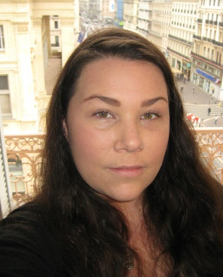 Dr. Shanna N. McClain works as the Resilience Coordinator for NASA’s Applied Sciences DISASTERS program. Her primary role is to coordinate and collaborate on projects that use harmonized approaches to Earth observation data for improved disaster risk reduction and resilience. She holds a PhD in Environmental Resources & Policy from Southern Illinois University. Her doctoral research examined the challenges of integrating three policy priorities – climate change adaptation, response to disasters, and resilience – into existing multilevel governance frameworks. She was awarded a National Science Foundation IGERT Fellowship, which provided her with the opportunity to work with the International Commission for the Protection of the Danube River (ICPDR) in Vienna, Austria and conduct research throughout the Danube River basin and Tisza River sub-basin. She has held consultancies since 2011 with the Joint UNEP/OCHA Environment Unit in Geneva, Switzerland, focused on the integration of environmental considerations in sudden-onset and protracted humanitarian crises. She also previously worked as a Visiting Policy Analyst for the Environmental Law Institute (ELI), performing research and analysis on livelihood provision, land management, and water governance as part of a multi-volume series on post-conflict peacebuilding and natural resource management, and she has supported ELI’s work on environmental migration and environmental peacebuilding.
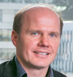 Mr. Reinhard Mechler has close to 20 years of experience working on socio-economic aspects related to disaster risk and resilience, and climate change. He currently is deputy director of the ‘Risk & Resilience’ research program at the International Institute for Applied Systems Analysis (IIASA). He has been acting as a visiting professor at the University of Graz, as well as a senior lecturer at the University for Economics and Business in Vienna. Reinhard Mechler has been leading and contributing to many international research and consultancy projects. He acted as a lead author on IPCC’s special report on adaptation to extreme events (SREX), the 5th assessment report and the report on 1.5oC.
 Dr. Simon Young has a background in Earth Sciences and, after completing a PhD in volcanology, worked for the British Geological Survey on a variety of projects, including as Chief Scientist and the first full-time Director of the Montserrat Volcano Observatory during the main phase of the volcanic eruptions on Montserrat between 1995 and 2000.Since then, he has worked as a consultant, providing a broad range of disaster and climate risk management and financing services around the world in both private and public sectors. Between 2006 and 2013, that work was undertaken as CEO of Caribbean Risk Managers Ltd, where Simon was closely involved in the development, implementation and operations of both the Caribbean Catastrophe Risk Insurance Facility (CCRIF) and the Microinsurance Catastrophe Risk Organisation (MiCRO). He also provided advisory services to the World Bank during the development and implementation of the Pacific pilot risk pool, PCRAFI, and was involved in a number of other disaster risk management and climate change adaptation projects in the Americas and Asia-Pacific. After leaving CaribRM, Simon continued to support CCRIF, particularly in its expansion into Central America and the implementation of its Excess Rainfall product, and also represented CCRIF on the deal team for the CCRIF / IBRD catastrophe bond placed in July 2014. During 2013 and early 2014 he was also lead Advisor to the African Risk Capacity Insurance Company during its start-up phase, and was formally appointed CEO in July 2014, a position he held, along with being Chief Underwriting Officer, until September 2016. He continues to provide support to the ARC team in an advisory capacity. In October 2016, Simon took on a new part-time role as Strategic Advisor to the Capital, Science & Policy Practice at Willis Towers Watson. In this role, Simon has re-engaged with the Pacific risk pool and, following the devastating 2017 hurricane season in the Caribbean, has been active in supporting the risk and resilience agenda across both public and private sectors, including as part of the incubation team for the Caribbean Climate-Smart Coalition.
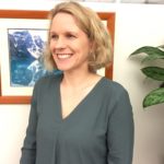 Dr. Alanna Simpson is a Senior Disaster Risk Management (DRM) Specialist and the DRM Regional Coordinator for the World Bank’s Europe and Central Asia region. In this role, she works with governments to assess and communicate disaster and climate risks towards policy reform and investment in preparedness, risk reduction and broader resilience.
Previously, Alanna led the technical team responsible for supporting the Global Facility for Disaster Reduction and Recovery Innovation Lab which supported World Bank teams in disaster risk assessments, and geospatial and remote sensing technologies. This includes the design and quality assurance of disaster risk assessments and their communication to end users; open-source tool development (e.g., Think Hazard!); the Open Data for Resilience Initiative (OpenDRI); promotion of new innovation through the Challenge Fund; and international knowledge exchange through publications and the Understanding Risk Forum.
Dr. Simpson also previously worked for the Australian Government, where she led efforts to improve risk assessment capability in East Asia and the Pacific. A New Zealand and Australian national, Dr. Simpson holds a PhD in Geoscience from the University of Queensland, a M.Sc. from the University of Otago and a B.Sc. from the University of Auckland.
