March 22, 2018 10:11 pm
The School explains how critical infrastructure works and fails; its cascading impact from local to global, and the strategies to use to build a resilient society. Applications due March 29!
March 22, 2018 9:35 pm
As part of a GFDRR/DFID “Challenge Fund” project, Deltares, VU Amsterdam, Tanzania Red Cross Society and RCCC turned a Mancala board game into a flood impact assessment tool, allowing local stakeholders to understand their own vulnerabilities related to cascading failures of critical infrastructure.
June 22, 2017 1:10 pm
Start with a story if you can. Imagine you are excitedly telling your next-door neighbour or your cousin about something really interesting that’s happened in your project...
June 22, 2017 1:09 pm
Examples abound of leading tech companies that have adopted open source strategy and contribute actively to open source tools and communities. Google, for example, has been a long contributor to open source..
June 22, 2017 1:08 pm
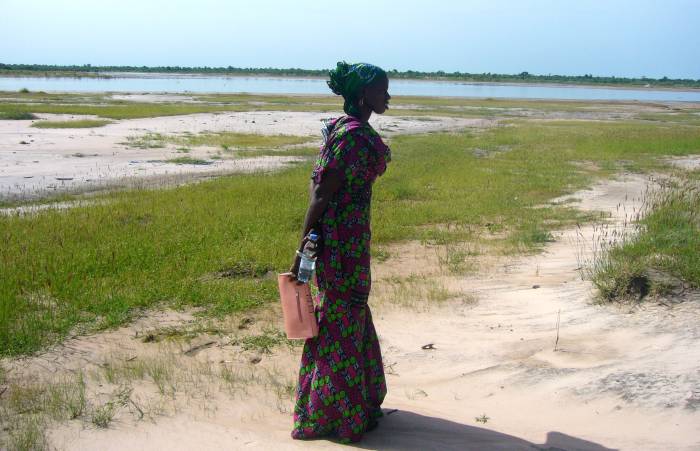
São Tomé and Príncipe is highly vulnerable to climate variability and change, coastal and flash flooding, and sea level rise...
June 22, 2017 1:06 pm
FloodzoneData.us is a new data tool presented by the NYU Furman Center describing the people and housing located in the nation’s floodplains...
November 14, 2016 10:34 pm
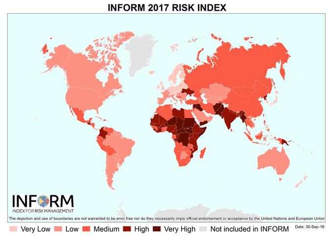
INFORM has released the results of its 2017 Global Risk Index. INFORM is an open-source risk assessment tool designed to support decisions about crisis and disaster prevention, preparedness and response...
November 14, 2016 2:05 pm
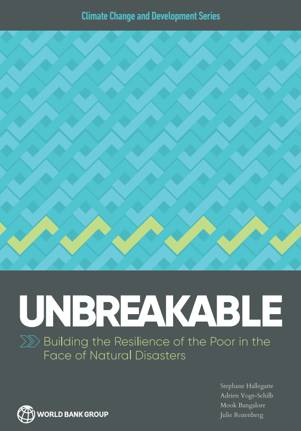
The impact of extreme weather on poverty is far more devastating than previously understood—outstripping all other estimates by as much as 60%. We can do much more to protect poor people from the shocks of natural disasters, which, as the report shows, cost the global economy $520 billion and force some 26 million people into poverty every year.
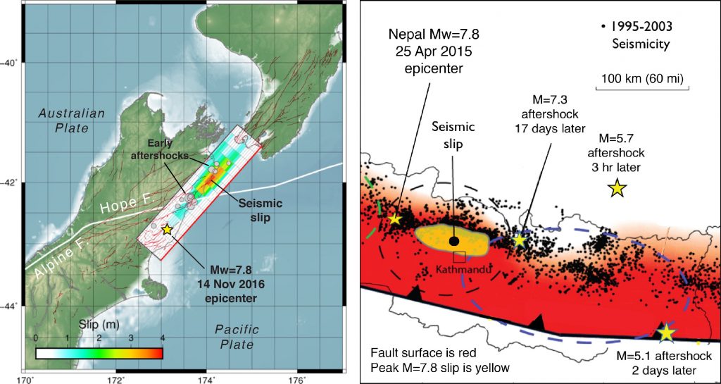
November 14, 2016 9:22 am
In terms of its rupture, the New Zealand earthquake is a ‘deja vu’ experience with the 25 April 2016 Mw=7.8 Nepal earthquake. Both show almost no fault slip at their epicenters, with the seismic waves traveling at about 5,000 mile per hour for about 50-100 km before the fault began to unzip...