December 4, 2014 10:25 pm
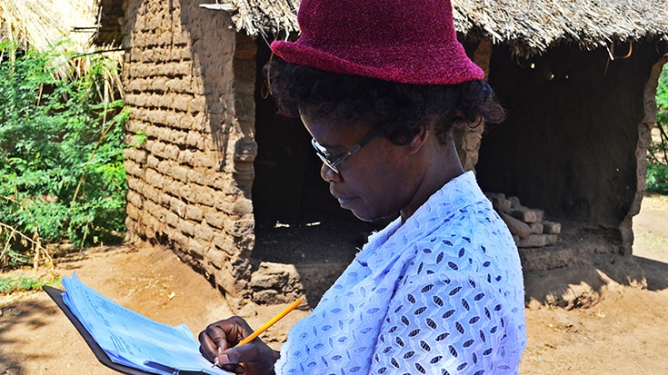
Remote villages in Malawi most vulnerable to floods and other natural recurring events are now better prepared to deal with disasters, thanks to a new mapping exercise which will share their data online...
October 31, 2014 5:58 pm
GFDRR and the World Bank’s East Asia Pacific (EAP) Disaster Risk Management team recently partnered with noted game designer, Dr. Pablo Suarez, to simulate the decisions that Argentine officials might have made ahead of the 2013 floods in La Plata...
October 27, 2014 5:35 pm
To manage disaster risk in expanding urban areas, a deep understanding of the built environment is essential. The Open Cities Project, part of the Open Data for Resilience Initiative (OpenDRI), has worked in three cities in South Asia to increase this understanding through community mapping and crowdsourcing activities...
October 13, 2014 10:17 pm
GFDRR and the World Bank’s East Asia Pacific (EAP) Disaster Risk Management team recently partnered with noted game designer, Dr. Pablo Suarez, to simulate the decisions that Argentine officials might have made ahead of the 2013 floods in La Plata...
September 24, 2014 10:14 pm
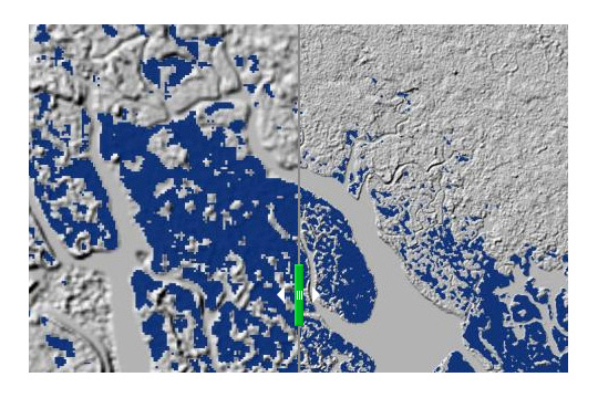
Until today, you had two choices for this kind of 3D surface map: rely on the free, low-resolution model from the U.S. Government and contend with results that have severe limitations and significant uncertainty, or commission a more accurate high-resolution model of the terrain at significant cost.
September 10, 2014 10:13 pm
September 4, 2014 2:47 pm
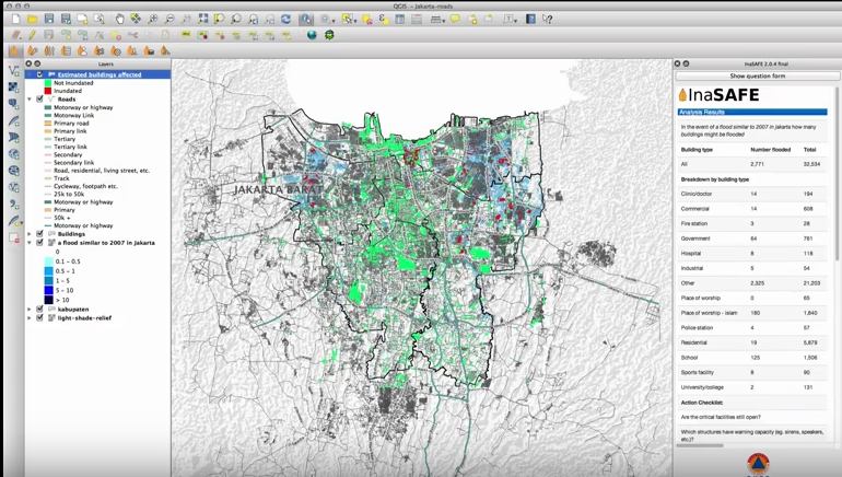
This promo video explains the new features in InaSAFE 2.0. InaSAFE is free software that allows disaster managers to study realistic natural hazard impact scenarios for better planning, preparedness and response activities. It provides a simple but rigorous way to combine data from scientists, local governments and communities to provide insights into the likely impacts of future disaster events.
August 17, 2014 6:34 pm
The UK Department for International Development (DFID) and the Global Facility for Disaster Reduction and Recovery (GFDRR) are developing a Scoping Report that seeks to explore the need for a new open risk data and modelling platform to improve the understanding of disaster risk in developing countries...


