Filter Resources
Keyword
Type
Region
Country
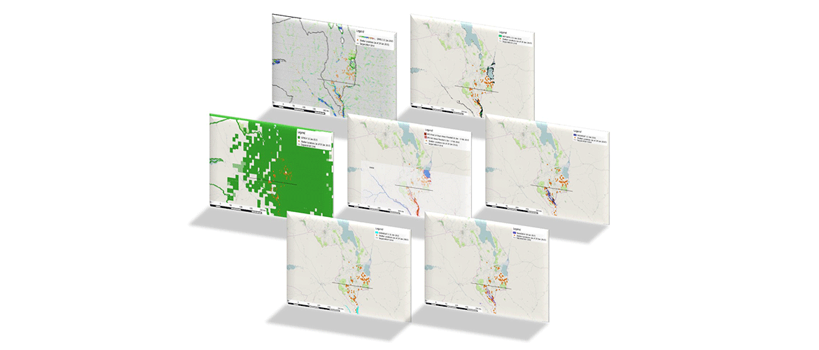
Climate Services & Application: Some Important Considerations
In recent years an increase in temporal and spatial resolution of satellite observations has afforded new lenses of climate research. Initiatives have been established to explore the value of integrating these data into climate and weather research, increasing the understanding of modes of climate variability, microclimates and precipitation processes, amongst others.
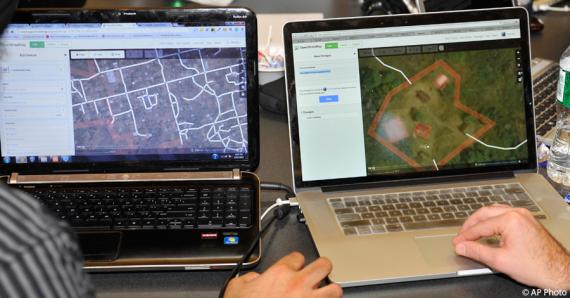
Open Data Day: How the State Department is Linking Diplomacy With Collaborative Mapping During Crises
As events around the world mark Open Data Day, the Department of State is proud to celebrate the anniversary of one its own open data initiatives.
Humanitarian OpenStreetMap Team
The Humanitarian OpenStreetMap Team (HOT) works to reduce disaster risk by collaborating with communities to map vulnerable areas before disasters occur. HOT also applies principles of open source and open data sharing to improve humanitarian response post-disaster and to support economic development.
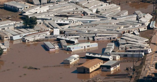
How to improve flood resilience
Floods affect more people globally than any other type of natural hazard, causing some of the largest economic, social and humanitarian losses. The great tragedy is that much of these losses could be avoided or at least reduced.
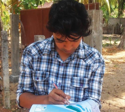
Open Data for Resilience Initiative
The Open Data for Resilience Initiative (OpenDRI) applies the concepts of the global open data movement to the challenges of reducing vulnerability to natural hazards and the impacts of climate change.
WCDRR: GFDRR and World Bank engagement
The World Conference for Disaster Risk Reduction will set the agenda for DRR over the next ten years, replacing the Hyogo Framework for Action. There are a few events that are relevant to the UR community...
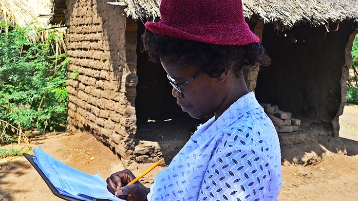
In Malawi, Citizens Get Involved as Innovative Technologies Help Them Better Understand and Manage Disaster Risks
Remote villages in Malawi most vulnerable to floods and other natural recurring events are now better prepared to deal with disasters, thanks to a new mapping exercise which will share their data online...
