Filter Resources
Keyword
Type
Region
Country

Introducing FloodzoneData.us, Presenting Data on the People and Housing in the U.S. Floodplain
FloodzoneData.us is a new data tool presented by the NYU Furman Center describing the people and housing located in the nation’s floodplains...
Changes to New York flood maps are a reflection of technology advancing
The Federal Emergency Management Agency (FEMA) has agreed to revise flood maps in New York City after an independent analysis – another sign that technology around flood risk is improving...

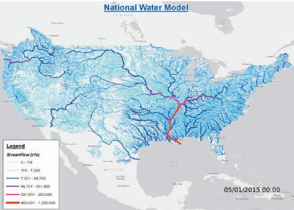
National Water Model (USA)
The National Water Model (NWM) is a hydrologic model that simulates observed and forecast streamflow over the entire continental United States.

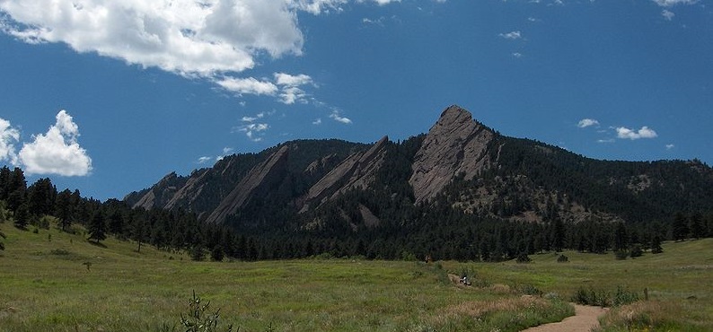
Understanding Risk Boulder 2015
UR Boulder convened the talent and expertise of Boulder, Colorado's communities, scientists, technologists, and government to develop shared understanding of the challenges we face relating to risk. UR Boulder is a local spinoff of UR events.

2014 Understanding Risk Forum
Under the theme "Producing Actionable Information", UR2014 convened 840 participants from more than 60 countries, representing 285 institutions that covered government agencies, the private sector, NGOs, research institutions, academia and civil society.

Humanitarian OpenStreetMap Team
The Humanitarian OpenStreetMap Team (HOT) works to reduce disaster risk by collaborating with communities to map vulnerable areas before disasters occur. HOT also applies principles of open source and open data sharing to improve humanitarian response post-disaster and to support economic development.
