Event Summary
Organization: International Research Institute for Climate and Society at Columbia University, Red Cross Red Crescent Climate Centre, Global Flood Partnership
Session Lead
- Andrew Kruczkiewicz, International Research Institute for Climate and Society at Columbia University
Speakers
- Gabriela Nobre, Researcher, Institute for Environmental Studies (IVM)
- Ahmadul Hassan, Technical Advisor of Forecast base Financing (FbF), Red Cross Red Crescent Climate Centre
- Miguel O. Román, Research Physical Scientist, Terrestrial Information Systems Laboratory, NASA's Goddard Space Flight Center
- Lace Padilla, NSF Postdoctoral Fellow, Northwestern University
- Mélody Braun, Staff Associate Researcher, International Research Institute for Climate and Society at Columbia University
- John Furlow, Deputy Director for Humanitarian and International Development, International Research Institute for Climate and Society at Columbia University
Description
Thursday, May 17, 16:30 – 18:00
It’s Friday afternoon, just around the time when you usually leave the office. One last check of social media and, to your dismay, there are messages, from various sources, stating increased risk for an extreme event in your area of responsibility. Some sources note the hazard will definitely occur and also create impact at scales never before experienced. Others are more cautious, highlighting the risk for moderate impact and only in some parts of your area of responsibility. Still other products are available, some conveying low risk, while others leaving out important particularities, such as flood or drought type. You are more confused now than before you started the search for risk information!
You need to take action – What do you do?
There is currently a gap between availability of hazard risk tools, such as forecasts, interfaces and maps, and use of those tools to influence and improve disaster risk management. As the physical science that informs the research and development of these tools continues to advance, and availability increases, use of these tools increases at a much slower rate. One main barrier is communication in the space between those developing tools for hazard risk and potential users of those tools. This lack of understanding on both sides may be due to the lack of communication of the types of hazard risk tools that are perceived by users to be beneficial and what the science is capable of.
This session will convene an interactive space for dialogue, knowledge exchange, and discovery between the risk tool development and disaster risk management communities.
Speaker bios
 Andrew Kruczkiewicz graduated from Columbia University’s Climate and Society master’s program in 2013, specializing in remote sensing and mapping of atmospheric and meteorological variables. In conjunction with the master’s program, he interned for NASA and the IRI, researching the application of satellite data to monitoring inundation in East Africa. Before attending Columbia, Andrew studied finance at Fairfield University and meteorology at Western Connecticut State University.
Kruczkiewicz is interested in the role of satellites and remote sensing technology for sector-specific applications. This includes developing algorithms to detect and map spatial and temporal patterns of precipitation, temperature and other climatic variables and analyzing their impact on agriculture and public health. He is also interested in the intersection of the social and physical sciences, especially pertaining to the integration of remote sensing into early warning systems for extreme events such as floods, storm surge from tropical cyclones, wildfires and landslides.
Kruczkiewicz is part of the Environmental Monitoring Program and aids in the development and integration of environmental remote sensing products into early warning systems for human health, agriculture and natural disasters. He also aids the IRI Data Library in the development of map rooms and supports the Climate Service Partnership.
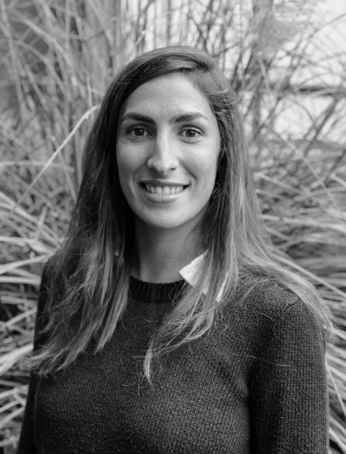 Gabriela Nobre is a Ph.D. researcher at the Institute for Environmental Studies (IVM) in Amsterdam, conducting research on floods and drought risks, climate variability and forecast-based financing. She has been working for six years on flood and drought risk and impact assessment projects, with special emphasis on water-related extremes. She graduated with a M.Sc. in Environmental Management, led by University of Kiel (Germany) and with a B.Sc. in Business and Finance from the University of Pernambuco, Recife (Brazil). She is also an active volunteer at the Water Youth Network and at the UN Major Group for Children and Youth, where she supports youth engagement and capacity building on water and disaster risk reduction projects.
 Dr. Ahmadul Hassan holds a PhD of the Institute of Water & Flood Management (IWFM). He has written his about a Decision Support Framework for Sustainable Land and Water Management in a Floodplain.
From 2002 until 2013 Dr. Hassan was the Director of R&D/Training and Senior Water Resource Planner at CEGIS. From 2013 to 2016 he was programme coordinator of Integrated Water Management project at UNDP. From 2016 he is working at Red Cross Red Crescent Climate Centre as Technical Advisor of Forecast base Financing (FbF) project in Bangladesh.
Dr. Hassan use scientific forecast to trigger the early action for FbF in Bangladesh for Cyclone and flood. He has excellent Remote Sensing (RS) and Geographic Information System (GIS) knowledge to develop computational engine for Risk Assessment to poetize the early investment based on forecast.
He has extensive experience in the use of mathematic hydrological model, hydrodynamic modeling for Integrated Water Resources Management (IWRM) in Bangladesh including the development of Water Balance Models for the assessment of water resources availability compared to net water requirement for optimum utilization of surface water. He has success fully developed and implemented a hydrological model for the Eastern Nile Basin and recently competed GBM and Nile basin model using SWAT.
Dr. Hassan was the project leader of a study to prepare a computation framework for water resources strategic planning for the Water Resources Planning Organization (WARPO) at the Ministry of Water Resources (MoWR) Bangladesh. He has also led the Ganges Brahmaputra Meghna (GBM) basin dynamic modelling study. Further he has developed a case study for IWRM course curriculum on land and water use planning in South-west region of Bangladesh. He was the co-author of Climate change risk and food security in Bangladesh, published by Earthscan in 2010 and editor of Climate Change Risk and Adaptation in Bangladesh” publish by Green University, 2015.
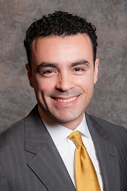 Miguel O. Román is a research physical scientist in the Terrestrial Information Systems Laboratory at NASA’s Goddard Space Flight Center. At the agency level, Román serves as co-lead to the Science of Terra, Aqua, and Suomi NPP Land discipline group, helping manage an international team consisting of over 30 members. Román is also an associate member of the OCO-2 science team and serves as part of NASA’s Disasters Response Program, working directly with technical and program staff from 6 NASA centers and JPL. The Disasters program targets a wide spectrum of disasters and is tasked with representing the Agency during national and international emergencies where NASA satellite data and products can be used to improve situational awareness and inform decision-making. At the international level, Román leads efforts, under the Group on Earth Observations (GEO) Human Planet Initiative, which are committed to the development and evaluation of state-of-the-art nighttime lights products that provide new scientific evidence and a comprehensive understanding of the human presence on the Planet. For his work developing NASA’s Black Marble nighttime lights product suite, Román was selected by President Obama as one of the recipients of the Presidential Early Career Award for Scientists and Engineers (PECASE), the highest honor bestowed by the United States government on scientists and engineers beginning their independent careers.
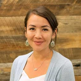 Lace Padilla, Ph.D. is an NSF Postdoctoral Fellow at Northwestern University. In 2018, she was awarded a Visionary Grant for research on Improving Trust in Uncertain Science. She has contributed significantly to research on decision making with visualizations, most recently with a review paper detailing a cognitive model for decision making with visualizations. Her empirical research utilizes displays of uncertainty, such as hurricane forecast maps, to understand how the brain represents, transforms, and reasons with visual information.
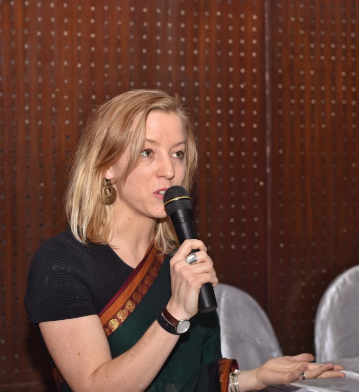 Mélody Braun joined Columbia University’s International Institute for Climate and Society (IRI) in September 2014. She leads the Columbia World Project, ACToday, in Bangladesh, where she works on the access, translation and use of weather and climate information into decision making processes in various sectors. Through ACToday, she led the creation of a Bangladesh Academy for Climate Services, co-founded by the Bangladesh Meteorological Department, IRI, the International Center for Climate Change and Development (ICCCAD) and CIMMYT. Mélody also leads the activities of the IRI Financial Instruments Sector Team in West Africa and Asia, and coordinates activities such as weather index insurance product design and implementation, index validation through participatory processes, agro-climate analyses and remote sensing, capacity building, and implications for climate policies.
Prior to joining IRI, Mélody worked in Bangladesh for three years, as a climate change advisor and lead of the Climate Change, Agriculture and Food Security (CCAFS) SmartFarm project for WorldFish. SmartFarm focused on participatory action research and implementation of gender-responsive adaptation strategies for agriculture, aquaculture and integrated farming systems in vulnerable communities of the Southwest of Bangladesh.
 John Furlow joined Columbia University’s International Institute for Climate and Society (IRI) in May 2017. As Deputy Director for Humanitarian Assistance and International Development, John works with IRI’s scientists to help apply their research and expertise to decision making in public health, agriculture, infrastructure planning and other vital sectors.
Prior to coming to IRI, John designed and led the Climate Change Adaptation Program in USAID’s climate change office. He advised the government of Jamaica in the development of its national climate change policy and its climate smart agriculture sector plan. John also led a project to develop Jamaica’s agro-climate service, which produces a seasonal forecast tailored for farmers and disseminated by text and agriculture extension workers. John helped launch the Climate Services Partnership in 2011. In 2015, he worked at the US Department of State designing and managing the National Adaptation Plan (NAP) Global Network as part of US preparations for the UN Climate Conference in Paris.


