Categories for Uncategorized_remove
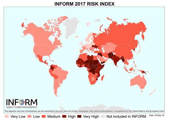
INFORM releases the results of its 2017 Global Risk Index
November 14, 2016 10:34 pm
INFORM has released the results of its 2017 Global Risk Index. INFORM is an open-source risk assessment tool designed to support decisions about crisis and disaster prevention, preparedness and response...
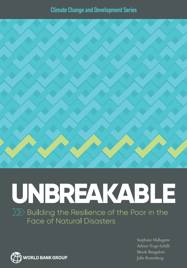
Breaking the Link Between Extreme Weather and Extreme Poverty
November 14, 2016 2:05 pm
The impact of extreme weather on poverty is far more devastating than previously understood—outstripping all other estimates by as much as 60%. We can do much more to protect poor people from the shocks of natural disasters, which, as the report shows, cost the global economy $520 billion and force some 26 million people into poverty every year.
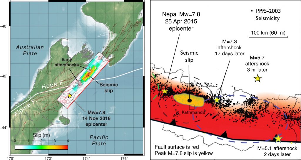
14 November 2016 Mw=7.8 New Zealand earthquake shows an uncanny resemblance to the 2015 Nepal shock
November 14, 2016 9:22 am
In terms of its rupture, the New Zealand earthquake is a ‘deja vu’ experience with the 25 April 2016 Mw=7.8 Nepal earthquake. Both show almost no fault slip at their epicenters, with the seismic waves traveling at about 5,000 mile per hour for about 50-100 km before the fault began to unzip...
Advanced satellite software takes guesswork out of predicting flood risk, yields & forest protection
November 10, 2016 10:32 pm
Seventy years since first space photo, Ecometrica's Earth Observation Labs provides near-real time information using ESA satellite data...
Changes to New York flood maps are a reflection of technology advancing
November 10, 2016 10:29 pm
The Federal Emergency Management Agency (FEMA) has agreed to revise flood maps in New York City after an independent analysis – another sign that technology around flood risk is improving...
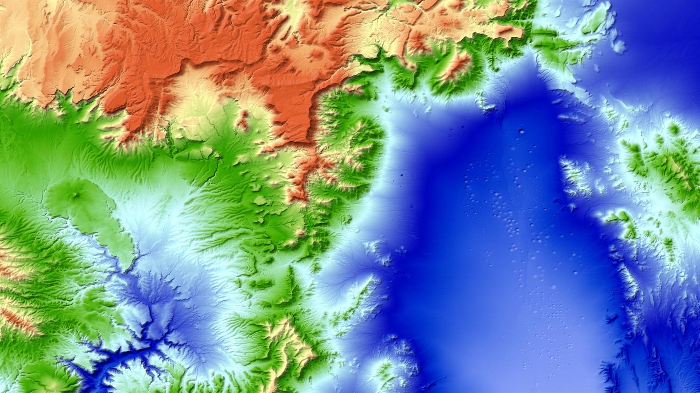
New 3D world map: TanDEM-X global elevation model completed
October 20, 2016 10:28 pm
The new three-dimensional map of Earth has been completed. Mountain peaks and valley floors across the globe can now be seen with an accuracy of just one metre...
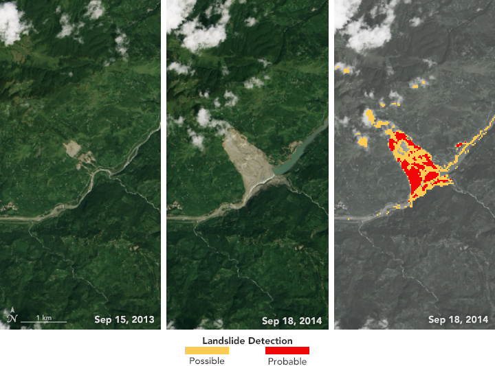
SLIP-DRIP new software for automatic detection of landslide
October 16, 2016 10:22 pm
The Sudden Landslide Identification Product (SLIP) combs through Earth imagery and analyzes consecutive images of the same location to spot changes in soil moisture, muddiness, and other surface features...

Low-cost IoT-based system developed to forecast floods in developing countries
October 14, 2016 10:19 pm
TOKYO -- A team of researchers at the Advanced Institute of Industrial Technology has developed a low-cost system to predict river flooding for developing countries, using "internet of things" technology to collect and analyze massive amounts of data from sensors placed along rivers...
