Event Summary
Description


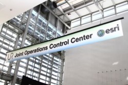
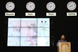
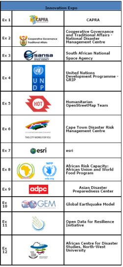
During the 2012 UR Forum an Innovation Expo mock Joint Operations Control Center (JOCC) were set up as a networking and interactive space for conference attendees. The expo provided participants with an opportunity to showcase their work to hundreds of disaster risk experts from more than 80 countries in a relaxed atmosphere, while the JOCC area was set up to provide a stage for attendees to give 5-minute lightning presentations of their work during the lunch break.
The following individuals presented their work at the JOCC ignite stage.
July 2, 2012:
Mapping an Entire Country: Using OpenStreetMap to Collect Exposure Information in Indonesia
Kate Chapman, Humanitarian OpenStreetMap Team
“Analyzing, Collaborating and Responding to Risk: A Platform Approach”
Ryan Lanclos, esri
July 3, 2012:
“Crowdsourcing Earthquake Data; Open-source tools developed within the scope of GEM”
Ben Wyss, GEM Foundation
PREDICT Services
Risk Assessment as an integral part of decision making
Carlos Villacis, UNDP-GRIP
Bob Alexander, Rural Livelihood Risk Management Consulting
“Earthquake Risk Assessment of Mandalay City, Myanmar”
Peeranan Towashiraporn, Asian Disaster Preparedness Center
July 4, 2012:
Cape Town Disaster Risk Management Centre
“SERVIR – GeoSpatial Data Platform”
John Gitau, SERVIR-Africa/RCMRD
“Better Data Sharing: Why do we care and how can we do it?”
Galen Evans, OpenGeo
Raisa Cole, African Union

